Povej prijatelju o tem izdelku:
Corfu Complete Topographic Map Atlas 1 Sergio Mazitto
Naročeno iz oddaljenega skladišča
 Božična darila lahko vrnete do 31. januarja

Kaj pravijo naše stranke:


Corfu Complete Topographic Map Atlas 1
Sergio Mazitto
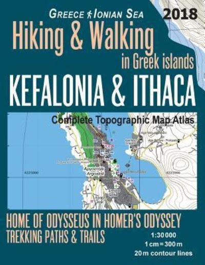
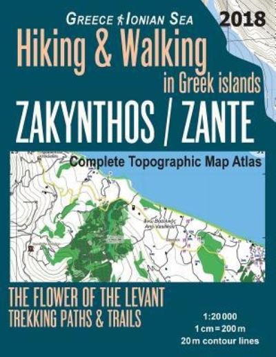
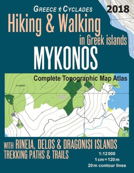
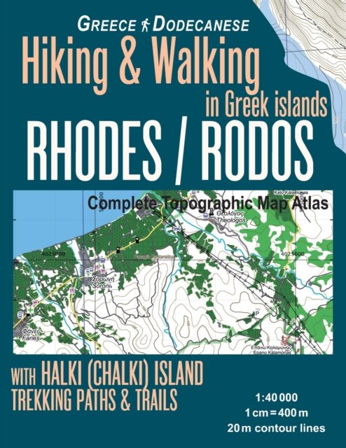
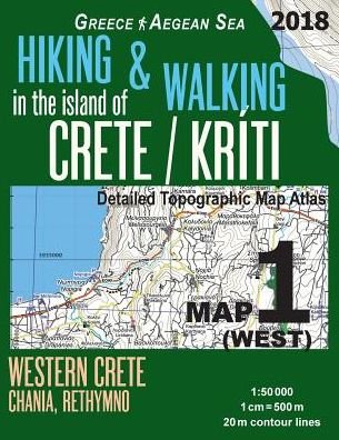
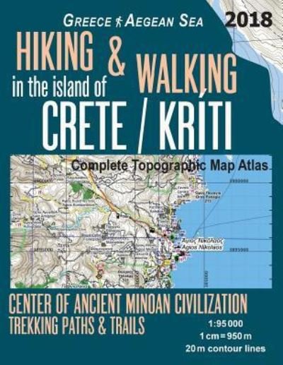
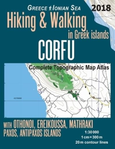
Updated 2018 edition. Large scale, highly detailed topographic map 1:30.000 for hiking and trekking, printed as an atlas book (with overlapping pages).
Complete map of the island of Corfu, Greece, with smaller nearby islands, covering great walks and wonderful hiking trails in the area. In addition to the island of Corfu, the maps also include Paxi (Paxoi), the smallest island group within the Ionian Islands (the Heptanese) with their largest islands of Paxos and nearby Antipaxos as well as the smaller islets. Also covered are the Diapontia Islands including Othonoi (Othoni), Ereikoussa, Mathraki, as well as the islets and rocks of Diakopo, Diaplo, Karavi, Kastrino, Leipso, Ostrako, Plaka, Plateia and Tracheia. Vido, Lazareto (Lazaretto, formerly known as Aghios Dimitrios) and Pontikonisi islands are also covered.
20 meter contour lines, road network, trails & paths, transportation, food, campsites, shelters, guest houses & hotels. Mercator projection with both UTM and WGS84 coordinate grids.
The map scale of 1:30000 (1 cm = 300 meters) provides a wealth of detail while keeping low the weight of the atlas itself. The large page format of 8.5x11in minimizes page count and along with an overlapping map design allows for comfortable navigation.
The details included in the topographic maps of this atlas were specifically selected to be useful for trekkers, hikers and walkers of all interests, and make it easy to plan and enjoy both short excursions and hikes as well as long multi-day adventures along the main marked routes and/or adjacent trails and paths, which are also shown on the maps.
With this ultralight atlas you will always have a detailed, reliable, information-rich, battery-independent, shatter-proof map for your adventure.
| Medij | Knjige Paperback Book (Knjiga z mehkimi platnicami in lepljenim hrbtom) |
| Izdano | 1. maja 2018 |
| ISBN13 | 9781718610903 |
| Založniki | Createspace Independent Publishing Platf |
| Strani | 40 |
| Dimenzije | 216 × 279 × 3 mm · 154 g |
| Jezik | Angleščina |