Povej prijatelju o tem izdelku:
Sailing Directions Pub140 Planning Guide North Atlantic Ocean Nga
 Božična darila lahko vrnete do 31. januarja

Kaj pravijo naše stranke:


Sailing Directions Pub140 Planning Guide North Atlantic Ocean
Nga
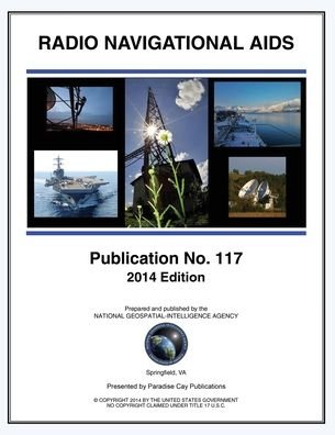
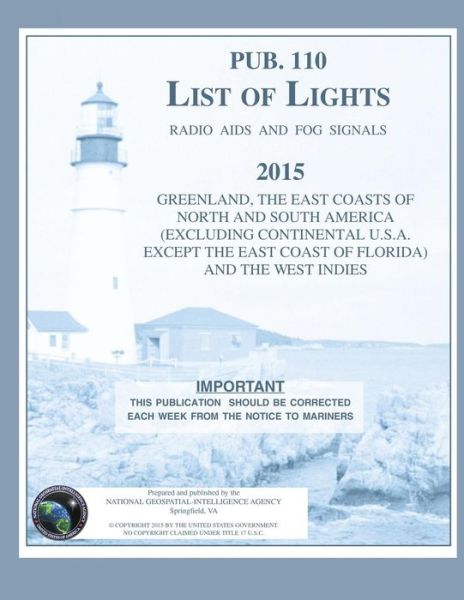
2020.- NORTH ATLANTIC OCEAN PLANNING GUIDE. NATIONAL GEOSPATIAL-INTELLIGENCE AGENCY. USA. Sailing Directions are published by the National Geospatial- Intelligence Agency (NGA). Sailing Directions, covering the harbors, coasts, and waters of the world, provide information that cannot be shown graphically on nautical charts and is not readily available elsewhere. Sailing Directions (Planning Guide) are intended to assist mariners in planning ocean passages and to eliminate duplication by consolidating useful information about all the countries adjacent to a particular ocean basin in one volume. Contents.-BERMUDA. -CANADA. -CAPE VERDE ISLANDS. -CARIBBEAN SEA. -DENMARK. -FAROE ISLANDS. -FINLAND. -FRANCE . -GAMBIA. -GIBRALTAR. -GUINEA.-GUINEA-BISSAU.-IRELAND.-LIBERIA-MEDITERRANEAN SEA.-NETHERLANDS.-NORTH ATLANTIC OCEAN.-NORTH SEA & ENGLISH CHANNEL.-NORWAY.-PORTUGAL.-SENEGAL.-SPAIN.- SWEDEN.- UNITED KINGDOM.
| Medij | Knjige Paperback Book (Knjiga z mehkimi platnicami in lepljenim hrbtom) |
| Izdano | 3. aprila 2012 |
| ISBN13 | 9781463683443 |
| Založniki | Createspace Independent Publishing Platf |
| Strani | 382 |
| Dimenzije | 216 × 279 × 20 mm · 884 g |
| Jezik | Angleščina |